
Determine lock passages from AIS data
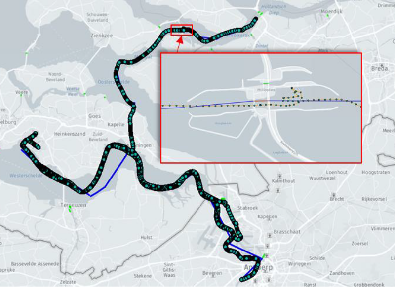
Each inland vessel broadcasts information about its identity, characteristics, position, speed and course via the Automatic Information System (AIS), transmitting this at regular intervals. This data can be used to analyze the usage of the Dutch waterways and in particular to validate other (registration) models and forecasts.
Rijkswaterstaat (Dutch Ministry of Infrastructure and Water Management) provided anonymized AIS data from all the ships along the Dutch waterways for a period of 18 months. This data set is very extensive and therefore not straightforward to process: there are 100 to 1000 AIS messages per second, which results in around a billion messages each month.
We developed a tool that can process this data automatically with a configurable set-up, where you can specifically zoom in on certain regions, ship types and dimensions, to read, store, process and visualize large sets of AIS data. During the processing the data can be mapped onto an available routing network of waterways and locks. Routes and mappings can be exported in GeoJSON format to perform visual checks on the results.
Combining the AIS data with this real-life inland shipping network results in valuable information about real routes, passage times and traffic intensity of waterways. In more detail, it is also possible to zoom in on specific locks to calculate passages, waiting times or examine bottlenecks.
The 18 months of data has been processed and the results presented to Rijkswaterstaat. The project shows how big data can be processed and provides useful information for decision makers. The tool itself will be published for use by interested parties.