
Introduction of Segments in BIVAS Online Viewer
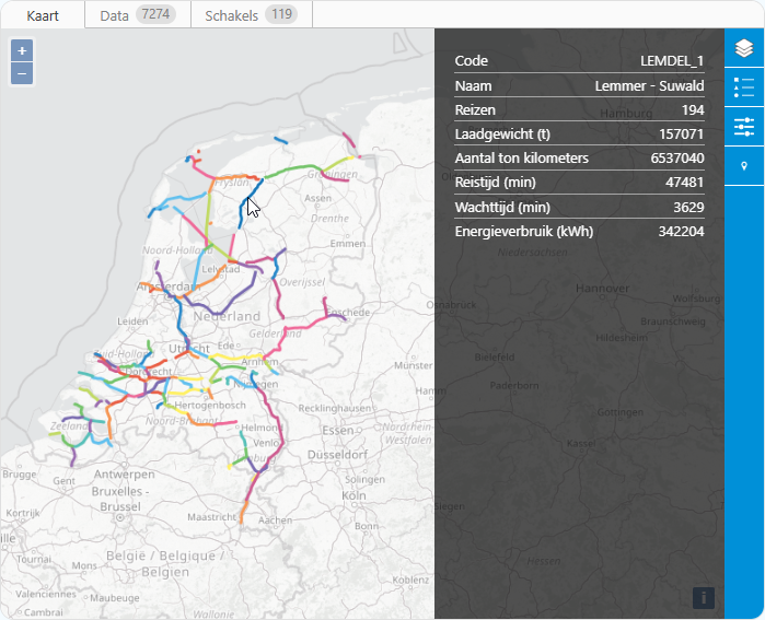
BIVAS, which stands for “Binnenvaart analyse systeem”, is developed in collaboration with Rijkswaterstaat. It is used to assess the impact of economic developments, blockages, water scenarios (such as extreme drought), and management strategies on the inland shipping network. Results for selected BIVAS scenarios can be accessed through the online viewer at bivas.chartasoftware.com.
The latest update of the viewer introduces segments. Segments (known as “netwerkschakels” in Dutch) represent a group of waterways that are logically connected. Each segment is identified by a code and a name, and displays the unique number of trips that passed through it, along with related statistics such as load weight, tonkilometer, travel time, wait time, and energy consumption. These results are available as a layer on the map and can also be downloaded in a table format.